 |
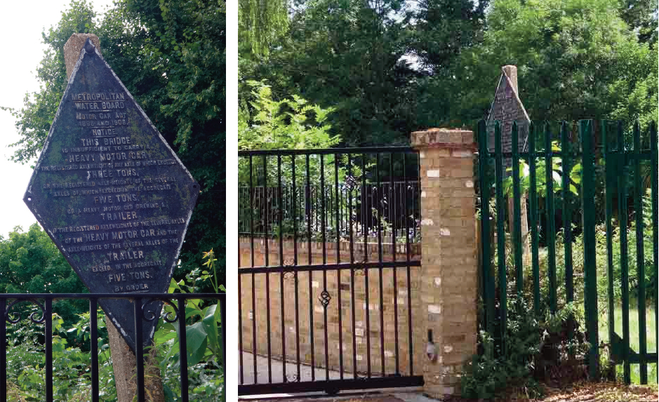
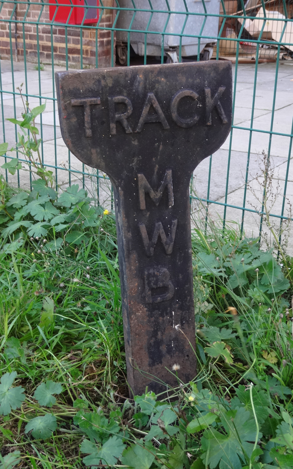
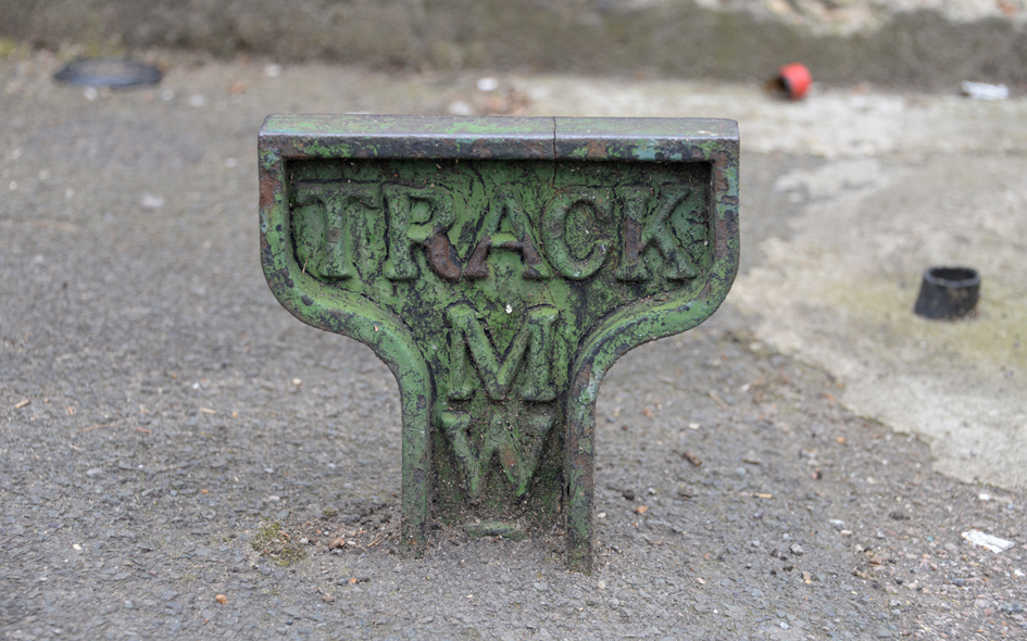
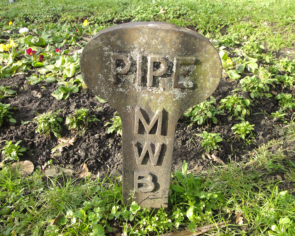
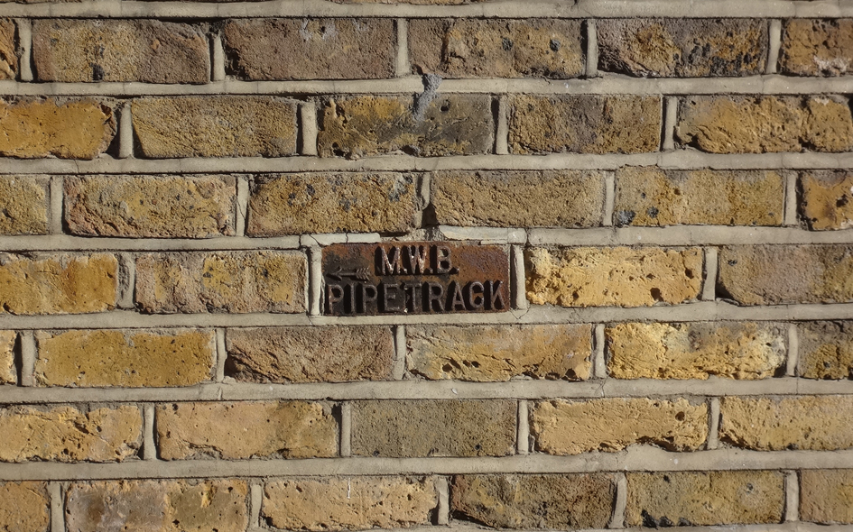
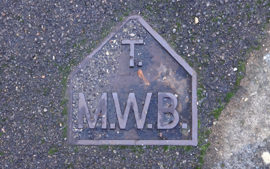
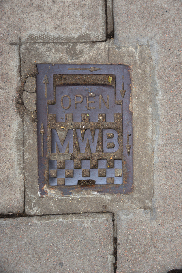
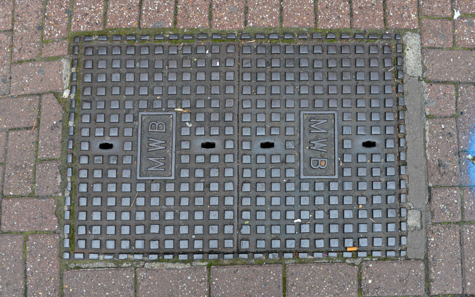
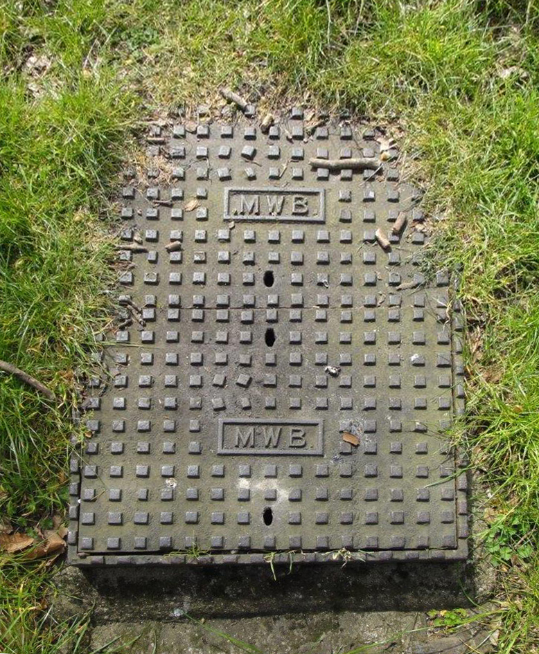
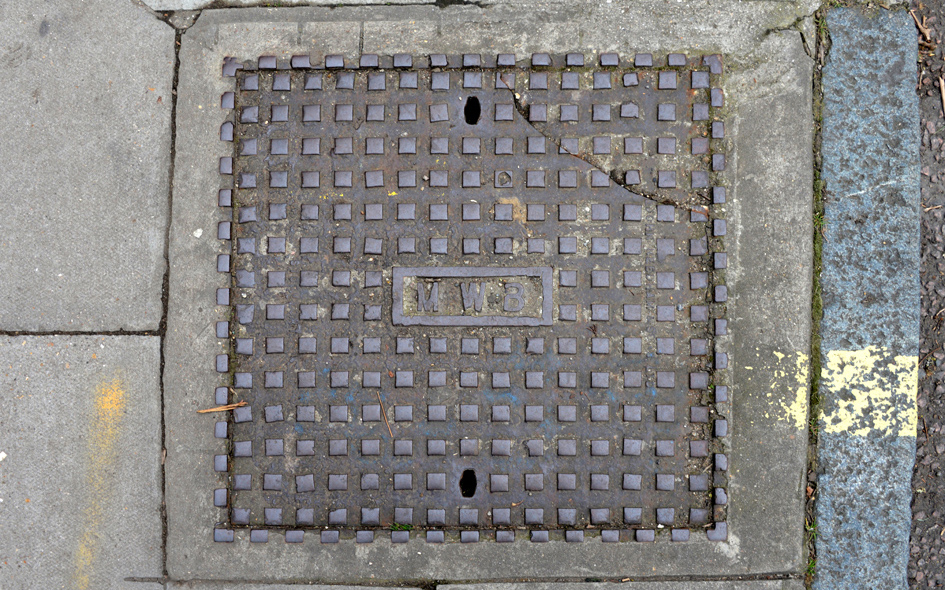
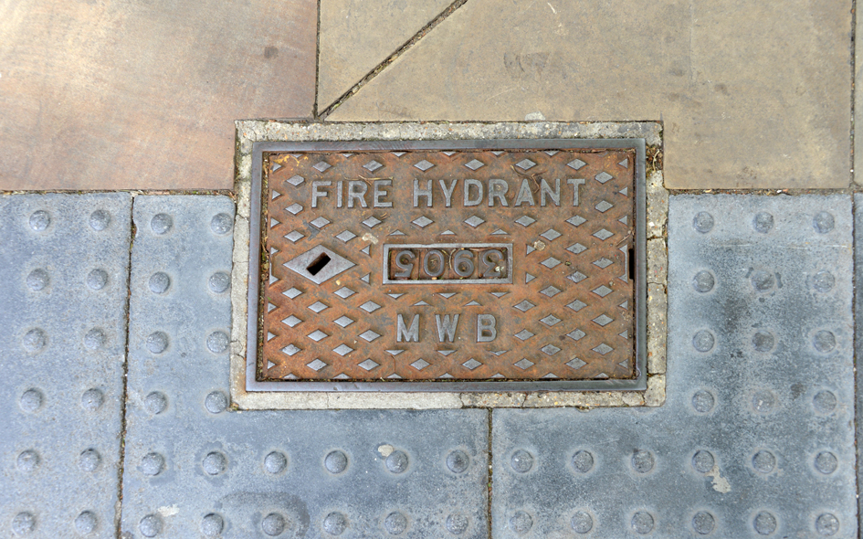
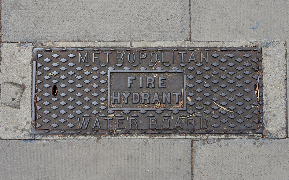
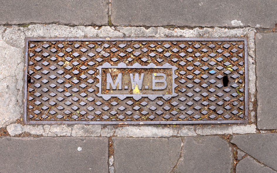
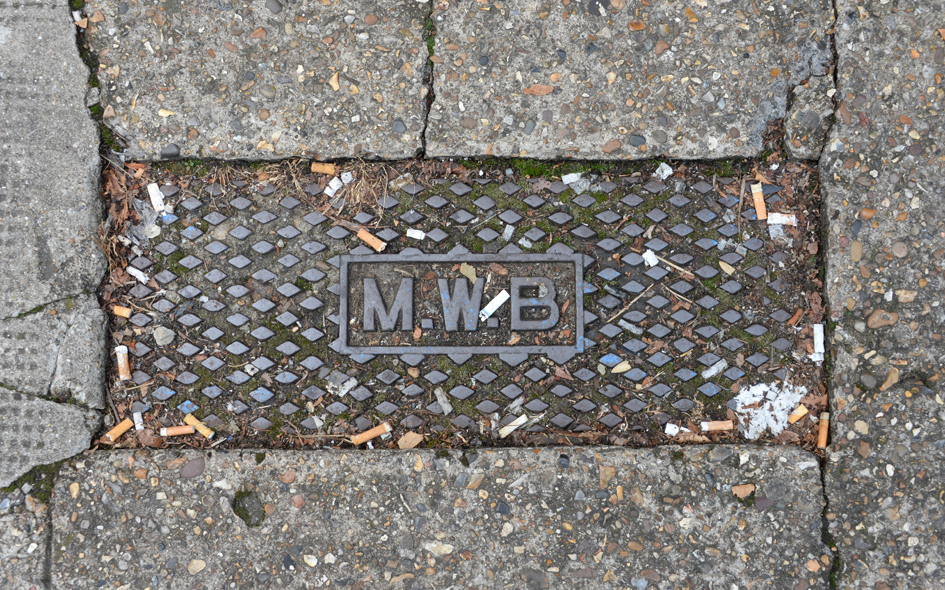
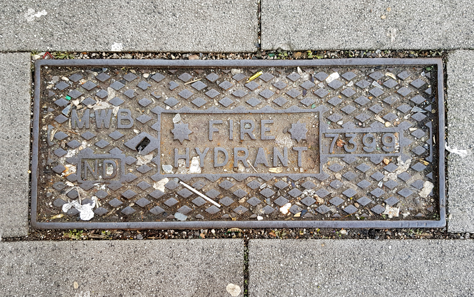
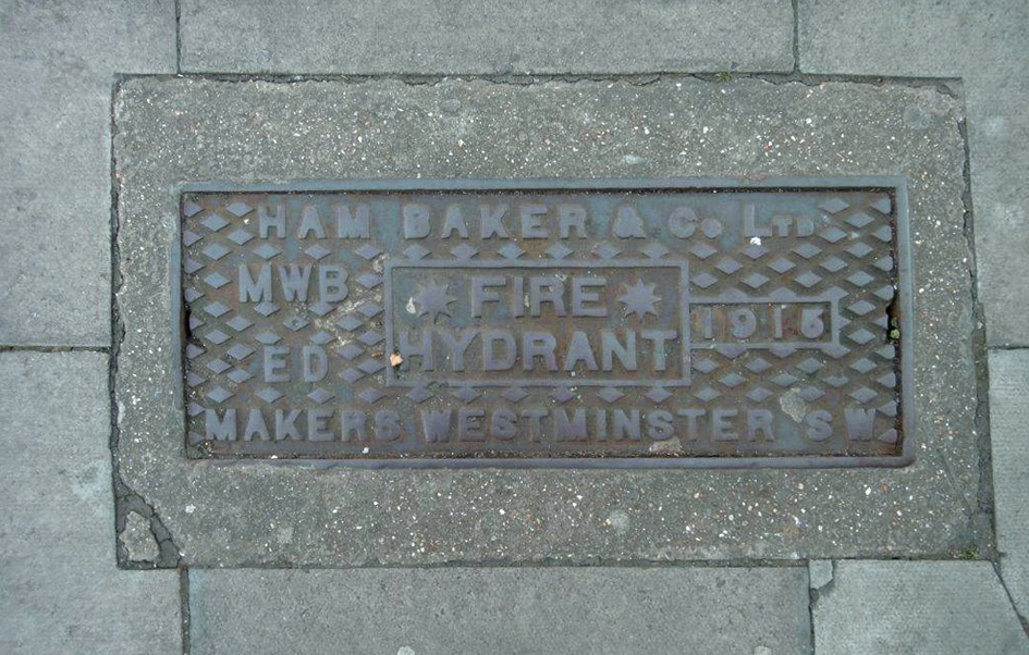
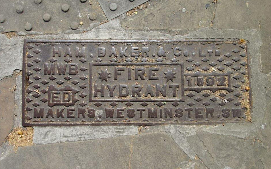
Metropolitan Water Board (19041974) [further information can be found by clicking here] |
 |
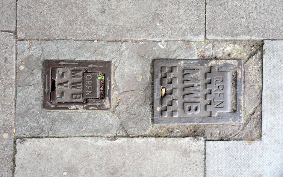
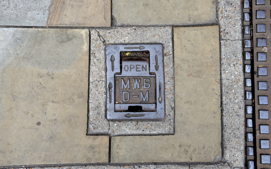
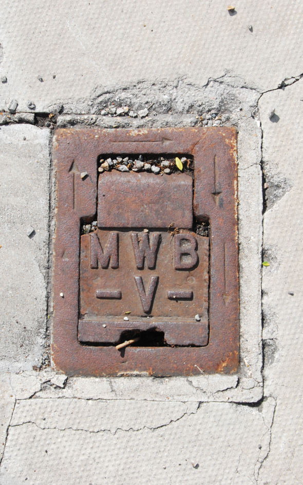
ENF085: Bush Hill Road, north side near New River bridge; N21;
7th July 2020 [courtesy of John Liffen] |
| |
 |
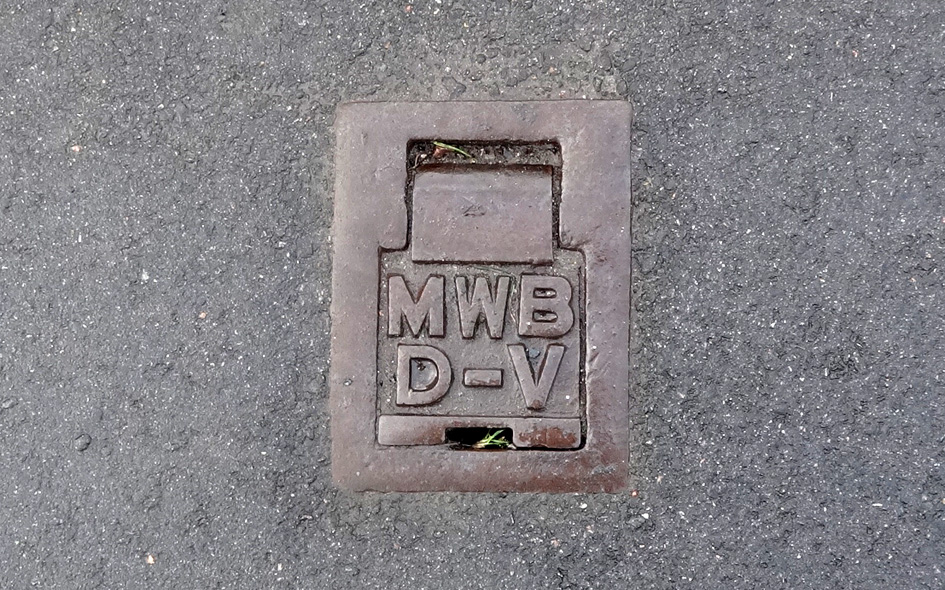
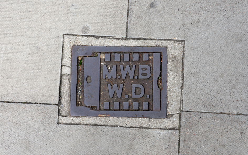
HCK015: St. Johns Court, north side of Queen’s Drive, at rear access path to block nos.21-65; N4;
3rd November 2020 [courtesy of John Liffen] |
| |
 |
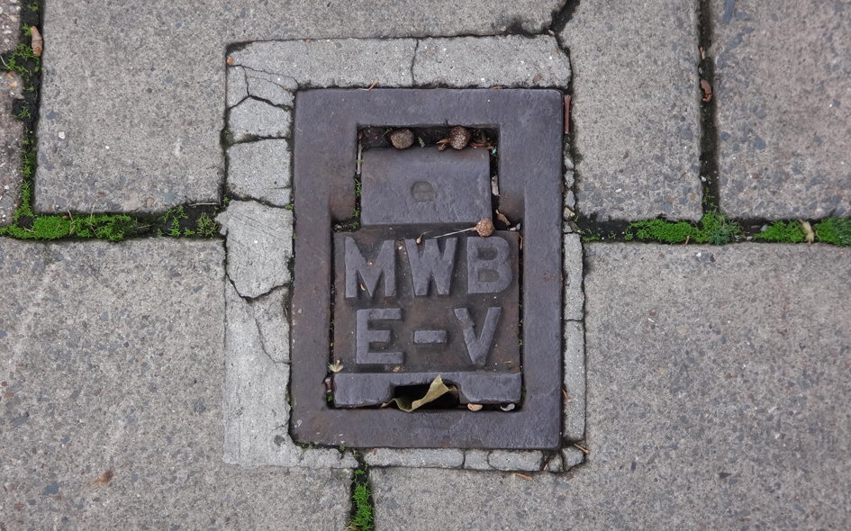
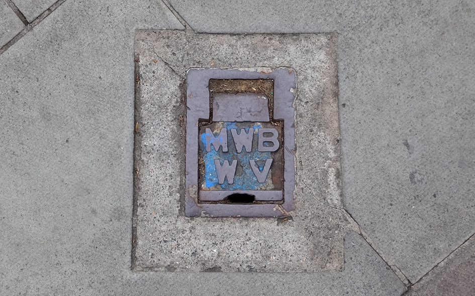
BAR133: Finchley Road, east side, just south of Northern Line bridge at Golders Green station; NW11;
1st August 2021 |
| |
 |
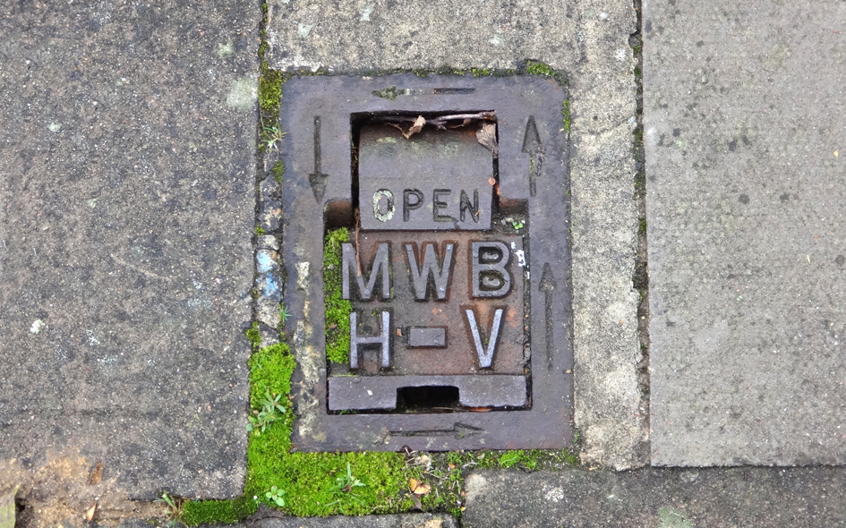
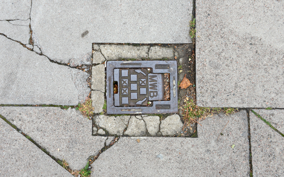
HCK028: Stoke Newington Church Street, north side, opposite Spensley Walk; N16;
24th February 2023 [courtesy of Steve Smith] |
| |
 |
BAR134: Finchley Road, east side, just south of Northern Line bridge at Golders Green station; NW11;
1st August 2021 |
| |
 |
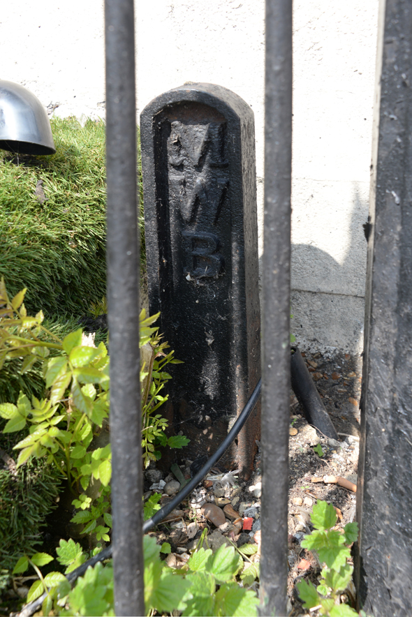
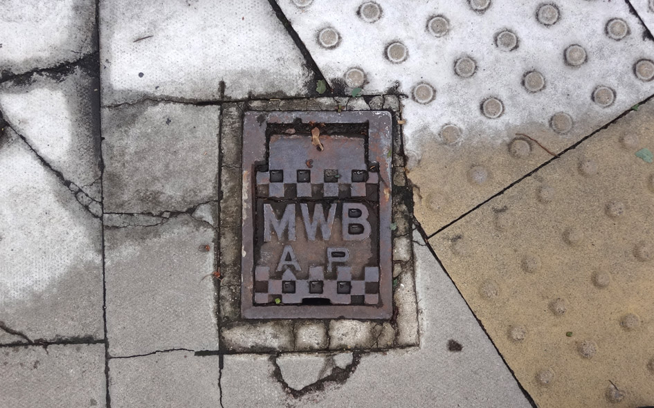
HCK014: Wilberforce Road, on wall on no.25; N4;
3rd November 2020 [courtesy of John Liffen] |
| |
 |
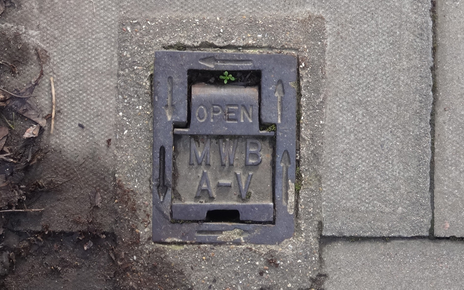
HCK016: Princess Crescent, east side, near junction with Queen’s Drive, at rear access path on corner of block nos.21-65; N4;
3rd November 2020 [courtesy of John Liffen] |
| |
 |
CAM018: Gloucester Bridge Road, west side, at junction with Prince Albert Road; NW1;
28th February 2021
|
| |
 |
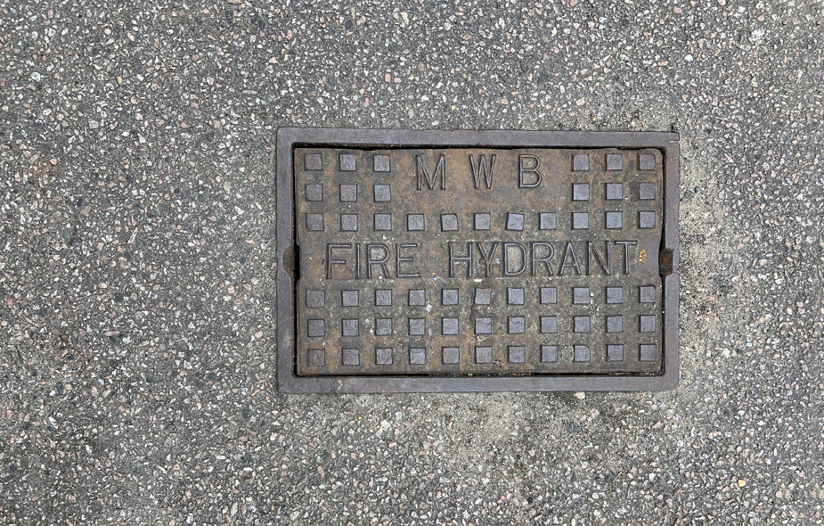
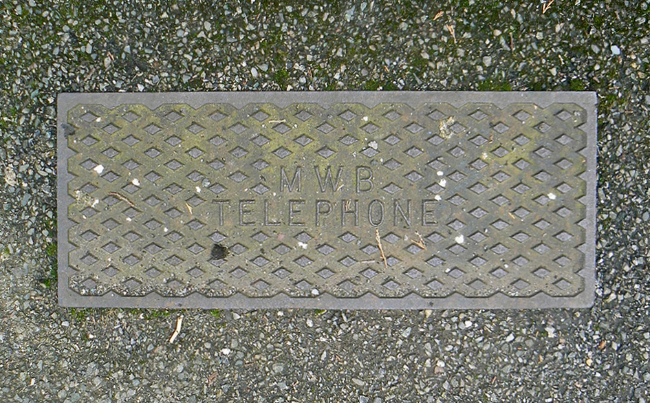
TWH034: Bow Road, outside Bow Road station; E3;
17th August 2021 |
| |
 |
HGY066: Wroxham Gardens, at junction with Durnsford Road, north-west corner; N11;
31st July 2021 [courtesy of John Liffen]
|
| |
 |
ENF125: Bincote Road, outside no.41; EN2;
21st January 2021 [courtesy of John Liffen]
|
| |
 |
CAM019: Parkway, west side, about 50 metres north of Prince Albert Road; NW1;
28th February 2021 |
| |
 |
ISL024: Upper Street, outside no.170; N1;
10th June 2021
|
| |
 |
ENF126: Hertford Road, at junction with Hoe Lane; EN3;
16th January 2021 [courtesy of John Liffen]
|
| |
 |
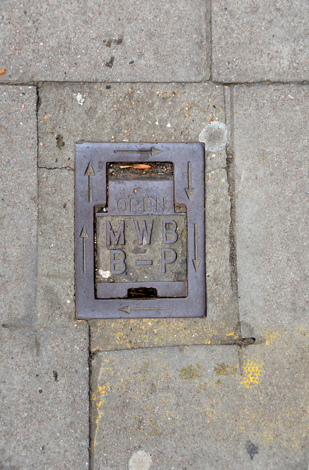
HCK017: Green Lanes, outside no.204; N4;
3rd November 2020 [courtesy of John Liffen] |
| |
 |
ENF103: Walnut Grove, outside no.12; EN1;
10th November 2020 [courtesy of John Liffen] |
| |
 |
ENF105: Green Lanes; N21;
18th June 2020 |
| |
 |
CAM037: Fortune Green Road, outside no.54; NW5;
15th August 2021 |
| |
 |
WMR025: Savoy Street, at junction with Savoy Place; WC2;
5th July 2022 [courtesy of John Liffen] |
| |
 |
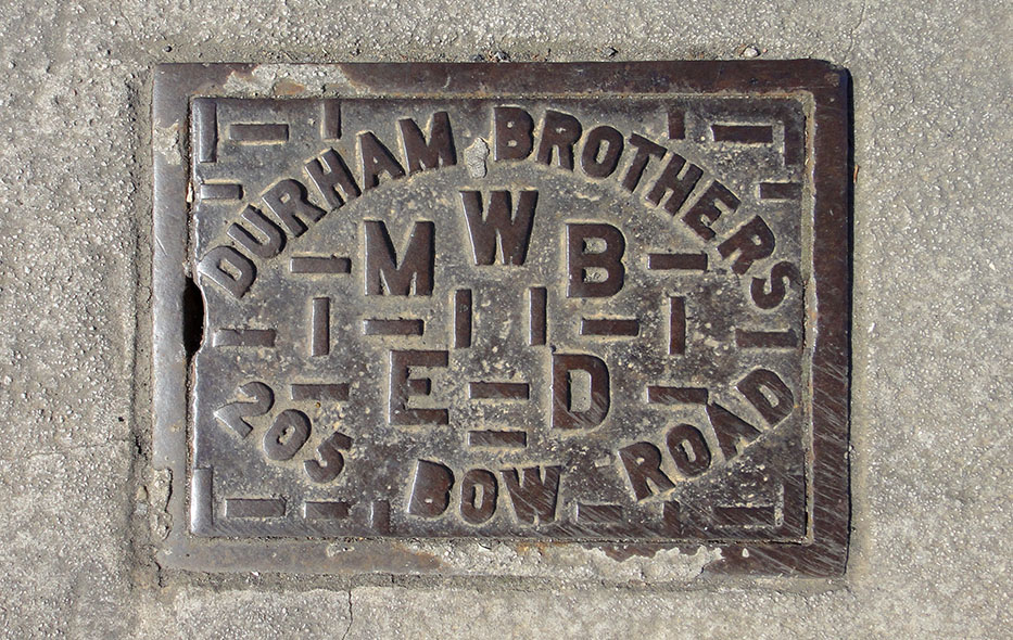
TWH035: Bow Road, at junction with Merchant Street, south-west corner; E3;
17th August 2021 |
| |
 |
TWH032: Bow Road, north side, opposite Bow Church DLR station; E3;
17th August 2021 |
| |
 |
HCK022: Mabley Green (off Lee Conservancy Road); E9;
29th April 2021 [courtesy of Steve Smith]
|
| |
 |
CAM020: Parkway, west side, about 50 metres north of Prince Albert Road; NW1;
28th February 2021 |
| |
 |
ISL038: Upper Street, at junction with Tynedale Street, north corner; N1;
10th June 2021 |
| |
 |
TWH031: Bow Road, outside Texaco fuel station [number uncertain]; E3;
17th August 2021 |
| |
 |
TWH033: Bow Road, outside no.78; E3;
17th August 2021 |
| |
 |
EAL031: Popes Lane, outside no.289; W5;
24th July 2022 |
| |
 |
ISL029: Upper Street, at junction with St. Mary’s Path; N1;
10th June 2021 |
| |
 |
BRE010: Churchill Road, near junction with High Road [Willesden], west side; NW10;
27th July 2021 |
| |
 |
HGY050: White Hart Lane, outside no.7; N17;
25th December 2020 [courtesy of Ronnie Goldberg] |
| |
 |
HCK018: Homerton High Street, at junction with Rosina Street, west corner; E9;
29th April 2021 [courtesy of Steve Smith]
|
| |
 |
HCK019: Homerton High Street, at junction with Isabella Road, east corner; E9;
29th April 2021 [courtesy of Steve Smith]
|
| |
 |
GRN001: Herbert Road, outside no.177; SE18;
20th May 2021 [courtesy of Chris Leadbeater]
|
| |
 |
NHM014: High Street South, opposite no.150; E6;
26th March 2022 [courtesy of Steve Smith]
|
| |
 |
SPL001: Littleton Pumping Station, grounds; TW17;
10th September 2022 [courtesy of Paul Ross] |
| |
| |
| * * * |
| |