 |
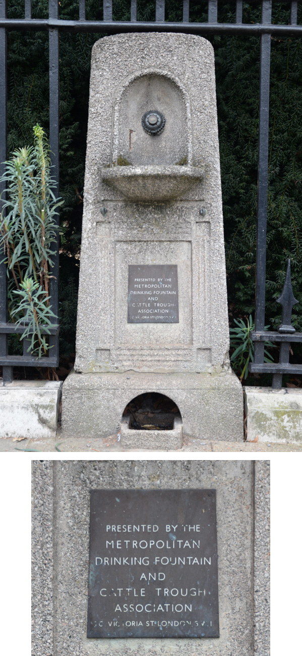
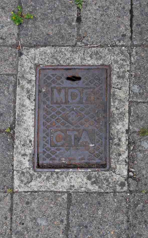
Metropolitan Drinking Fountain & Cattle Trough Association [further information can be found by clicking here] |
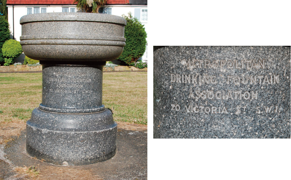 |
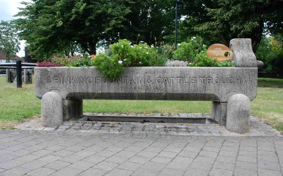
BAR064: Cresecent Way, on council lawn outside no.19; N12;
28th May 2020 |
| |
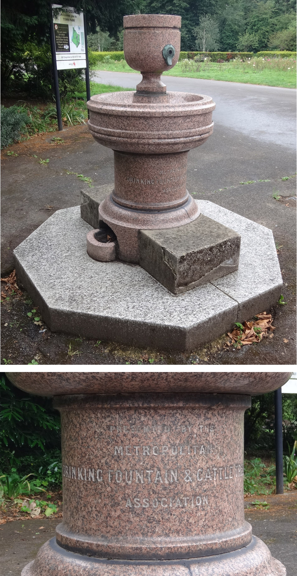 |
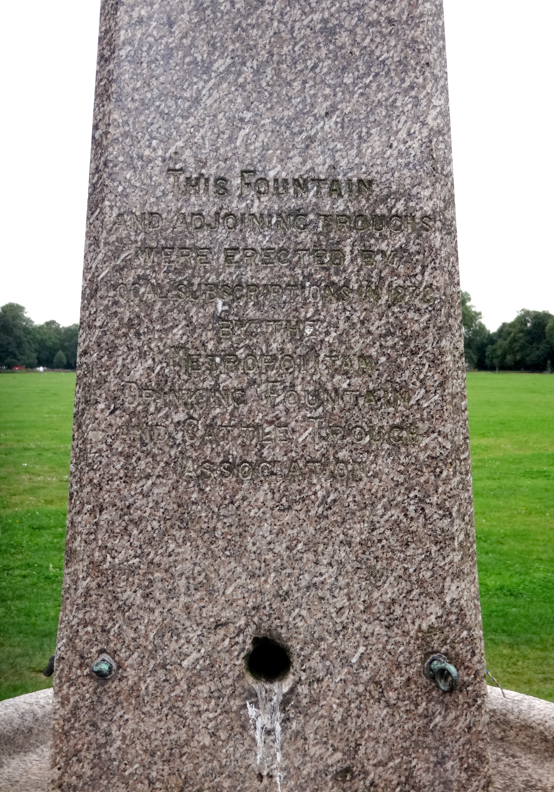
ENF142: Town Park, Enfield Town, just inside Cecil Road; EN2;
1st August 2021 [courtesy of John Liffen] |
| |
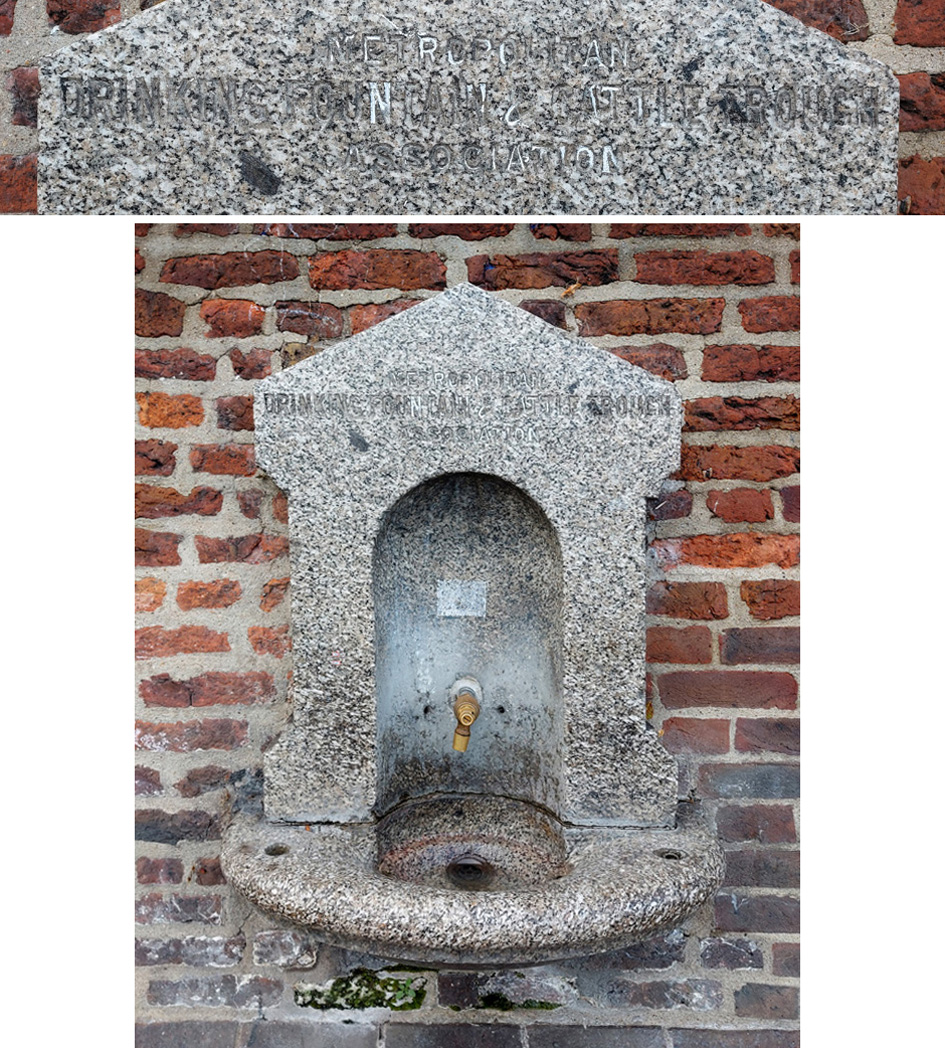 |
ENF094: Broomfield, on north/south path; N13;
29th September 2020 [courtesy of Warren Frankel] |
| |
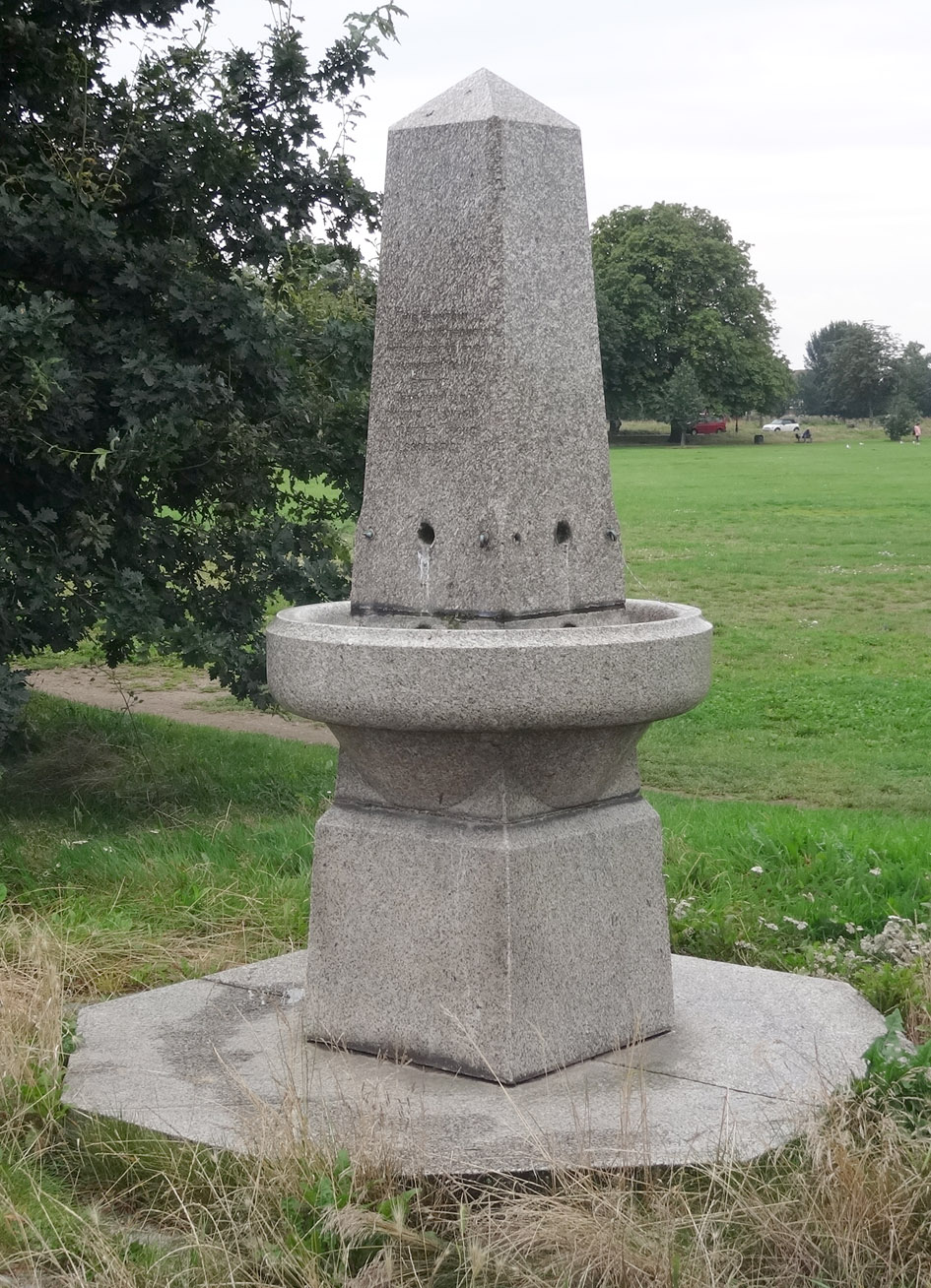 |
EAL015: Uxbridge Road, south side, about 40 metres west of Gunnersbury Avenue; W5;
21st August 2021 [courtesy of John Liffen] |
| |
 |
EAL015: Uxbridge Road, south side, about 40 metres west of Gunnersbury Avenue; W5;
21st August 2021 [courtesy of John Liffen] |
| |
 |
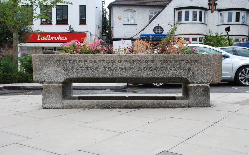
WMR023: Marylebone Road, north side, about 20 metres west of Park Square; W1;
25th January 2022 |
| |
 |
EAL015: Uxbridge Road, south side, about 40 metres west of Gunnersbury Avenue; W5;
21st August 2021 [courtesy of John Liffen] |
| |
 |
ENF016: The Green, Southgate, on pavement in front of trough [ENF017]; N14;
20th June 2020 |
| |
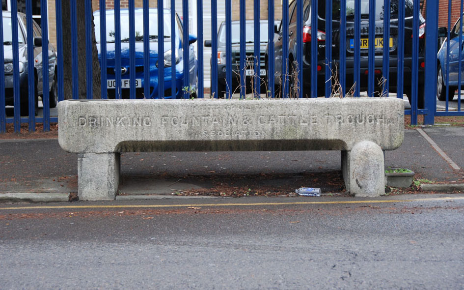 |
BXY002: Watling Street, opposite Pinnacle Hill; DA6;
27th November 2017 |
| |
 |
ENF017: The Green, Southgate; N14;
20th June 2020 |
| |
 |
ENF018: Green Lanes, west side, at junction with Compton Road; N21;
18th June 2020 |
| |
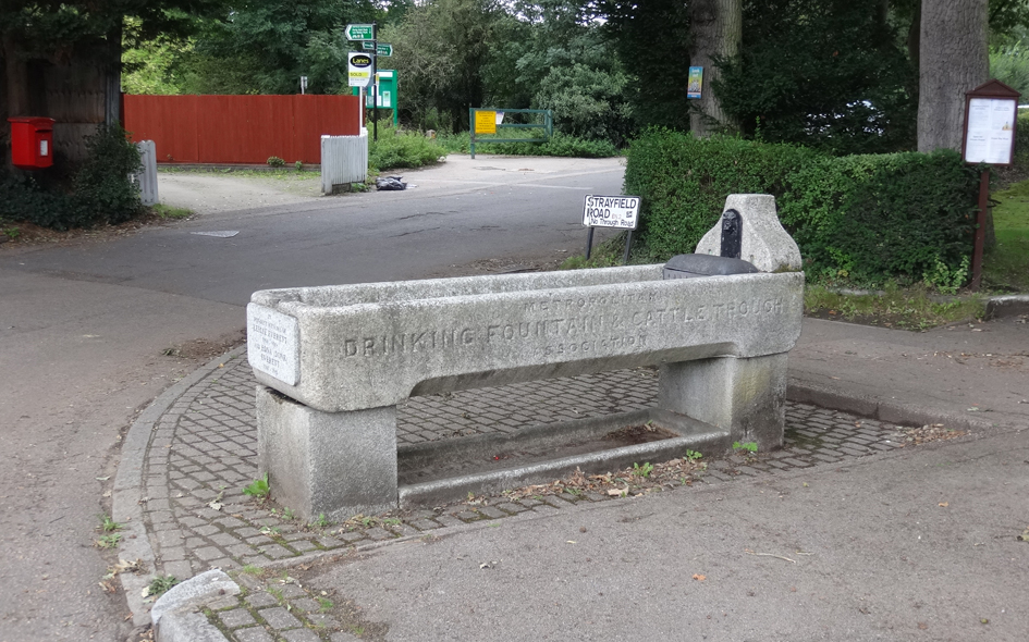 |
ENF096: Theobalds Park Road, at junction with Strayfield Road; EN2;
31st August 2020 [courtesy of John Liffen] |
| |
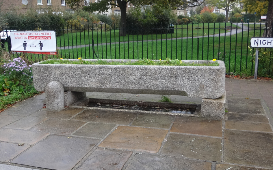 |
HGY044: Nightingale Road, north side at junction with Finsbury Road; N22;
24th October 2020 [courtesy of John Liffen] |
| |
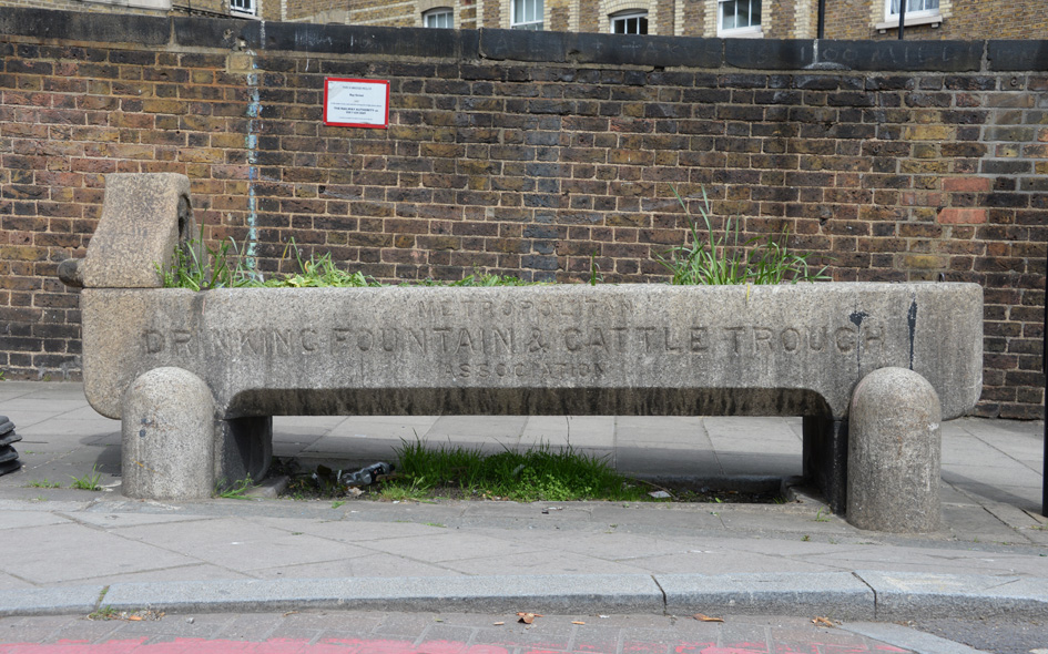 |
ISL050: Ray Street Bridge, north side, at junction with Farringdon Road; EC1;
18th April 2022 |
| |
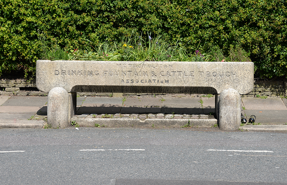 |
HGY096: Granville Road, north side, by entrance to Chapman’s Green; N22;
30th April 2024 |
| |
| |
| * * * |
| |