 |
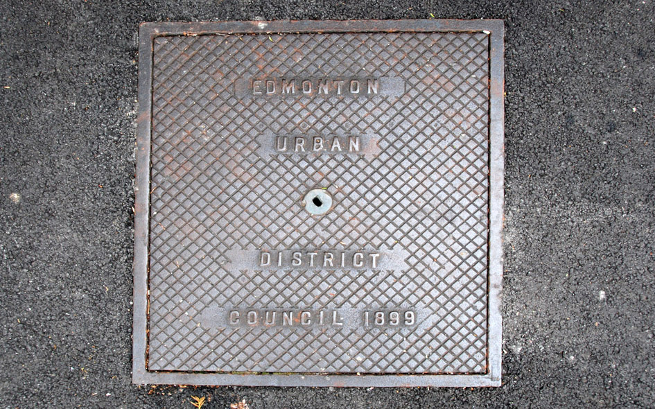
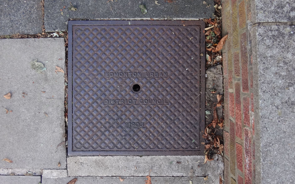
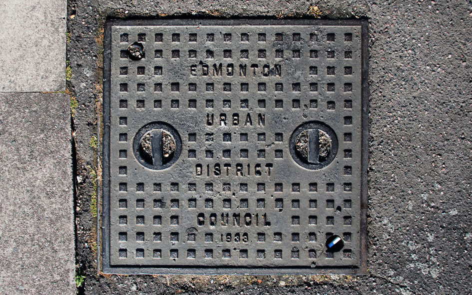
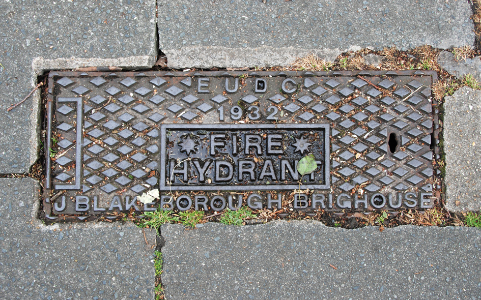
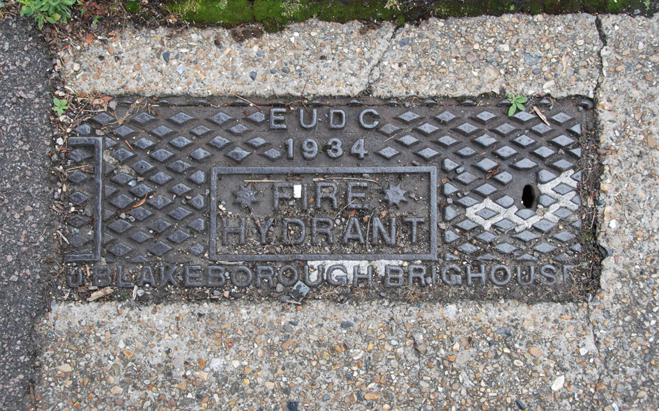
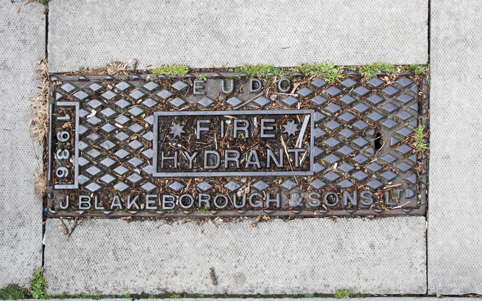
Edmonton Urban District Council (1894–1937) |
 |
ENF001: Longleat Road, north side; EN1;
19th July 2015 |
| |
 |
ENF098: Bush Hill Road, outside no.49; N21;
2nd September 2020 [courtesy of John Liffen] |
| |
 |
ENF002: Stockton Road; N18;
19th July 2015 |
| |
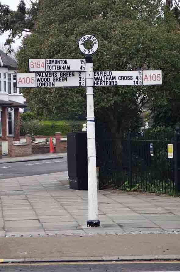 |
ENF003: junction of Bush Hill Road and Village Road; EN1; [please refer to the historical notes by clicking here]
7th April 2019 [courtesy of John Liffen] |
| |
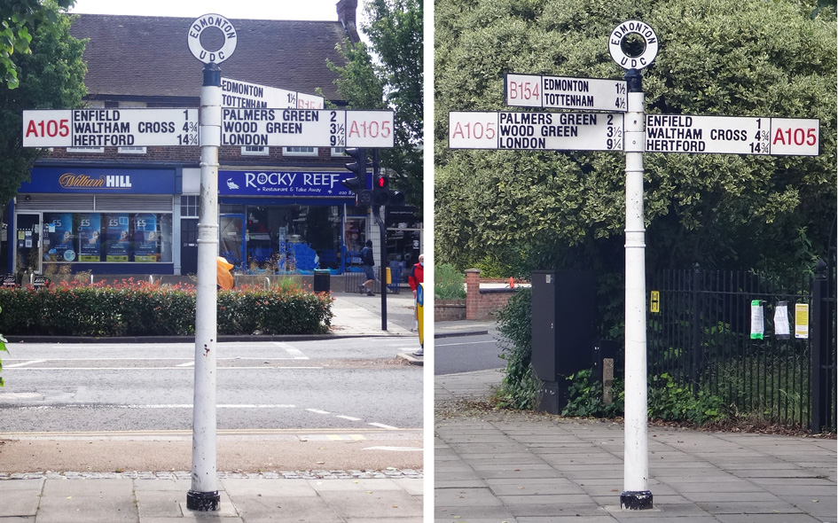 |
ENF003: junction of Bush Hill Road and Village Road [Enfield distance corrected]; EN1;
15th June 2021 [courtesy of John Liffen]
|
| |
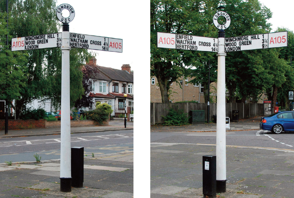 |
ENF004: junction of Park Avenue and Village Road [demolished in car crash Easter 2020 and removed]; EN1; [please refer to the historical notes by clicking here]
16th August 2015 |
| |
 |
ENF004: junction of Park Avenue and Village Road [replacement sign]; EN1;
17th June 2021 [courtesy of John Liffen] |
| |
 |
ENF107: Ridge Avenue, outside no.50; N21;
1st June 2020 [courtesy of John Liffen] |
| |
 |
ENF005: First Avenue, outside no.11; EN1;
16th August 2015 |
| |
 |
ENF006: High Street/Fore Street, east side by recreation ground; N9/N17;
19th July 2015 |
| |
 |
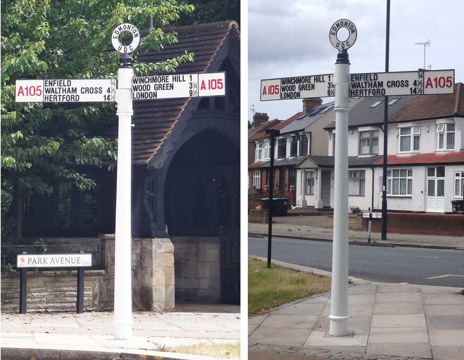
ENF007: junction of Bush Hill, Uvedale Road, London Road and Park Avenue, in west corner; EN1;
16th August 2015 |
| |
 |
ENF008: on road named ‘Private Road’, on Sainbury’s car park space; EN1;
16th August 2015 |
| |
 |
ENF070: Berkeley Gardens, outside no.21; N21;
24th June 2020 [courtesy of John Liffen] |
| |
 |
ENF110: Bush Hill Road, outside no.1; N21;
6th July 2020 [courtesy of John Liffen] |
| |
 |
ENF078: Cranwich Avenue, outside no.17; N21;
30th June 2020 [courtesy of John Liffen] |
| |
 |
ENF009: Middleham Road, near junction with Grange Road; N18;
19th July 2015 |
| |
 |
ENF102: Firs Lane, east side, just north of junction with Percy Road; N21;
23rd May 2015 |
| |
 |
ENF010: Mayfield Crescent, outside no.26; N9;
16th August 2015 |
| |
 |
ENF104: Firs Lane, east side, by access path to shops; N21 |
| |
 |
ENF079: Bush Hill Road, outside no.81; N21;
9th July 2020 [courtesy of John Liffen] |
| |
| |
| * * * |
| |