| |
 |
South Eastern Gas Board (1949-1986) |
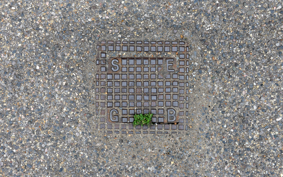 |
MER006: Church Road, east side, just north of junction with Miles Road; CR4;
2nd September 2021 |
| |
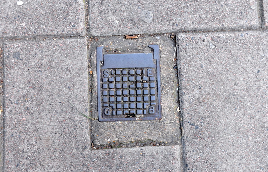 |
SWK005: Old Kent Road, outside no.156; SE1;
13th October 2021 |
| |
|
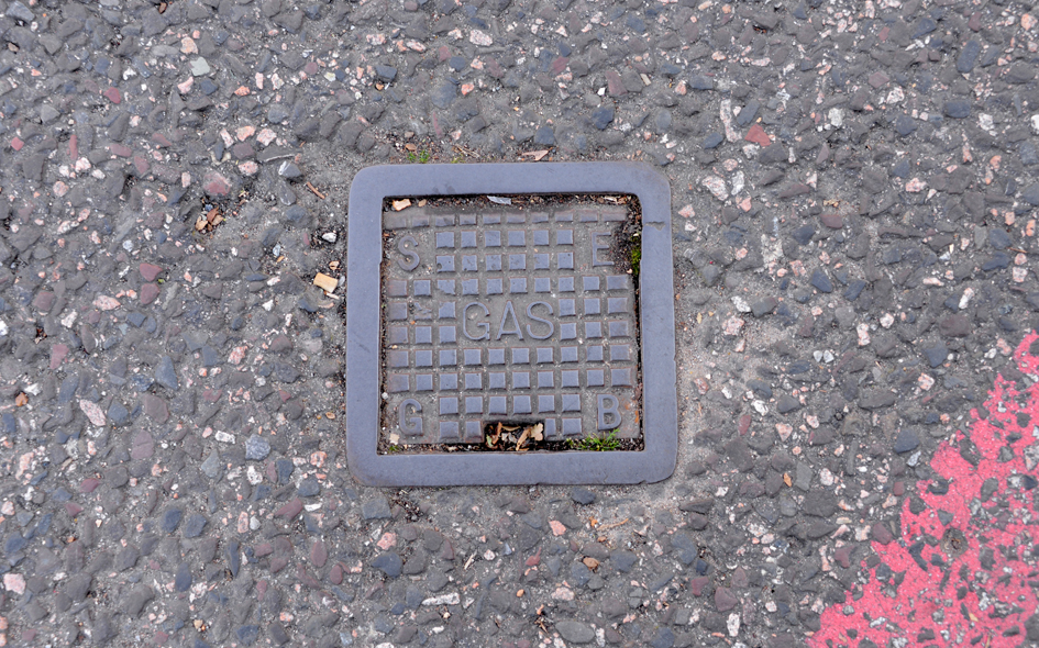
SWK006: Old Kent Road, outside no.154; SE1;
13th October 2021 |
| |
 |
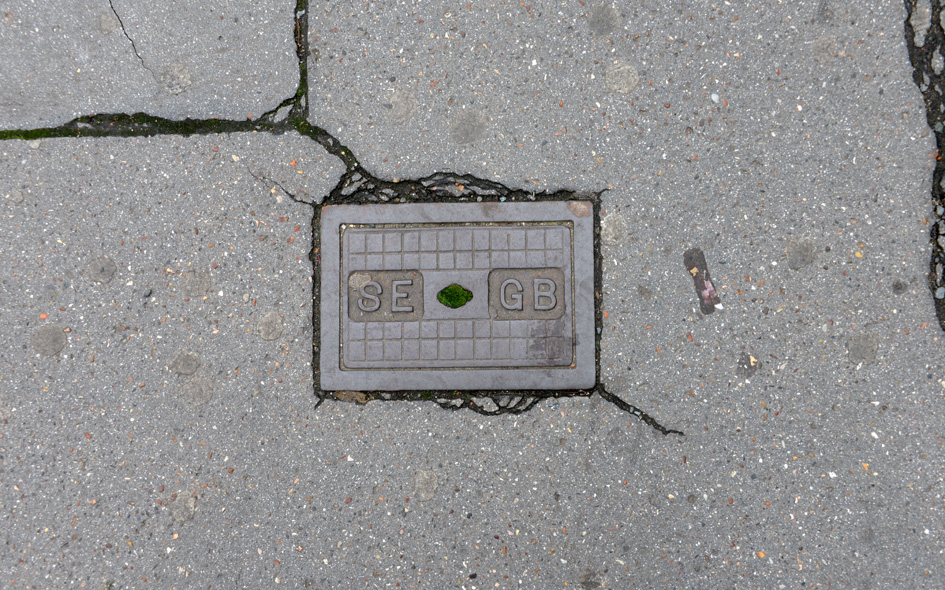
SWK007: Old Kent Road, in road, at junction with Massinger Street; SE1;
13th October 2021 |
| |
 |
CDN008: Portland Road, outside no.156; SE25;
17th October 2021 |
| |
| |
| * * * |
| |
|
|