 |
London Transport and predecessors (nominally 1902–1984) |
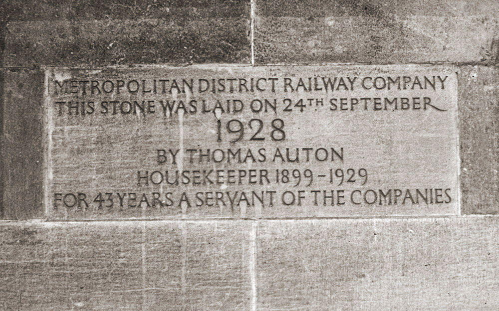 |
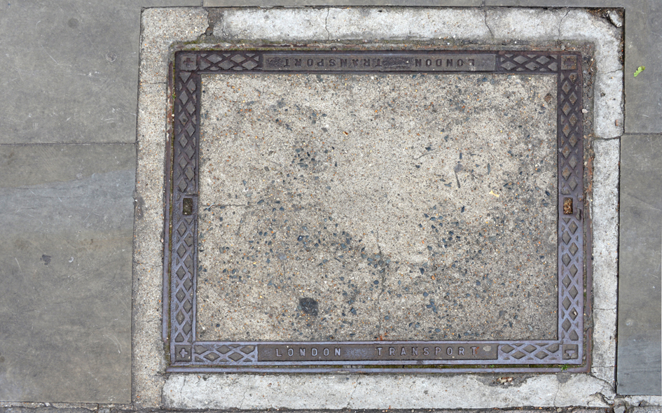
WMR004: St. James’s Park station; SW1;
3rd June 1979 |
| |
 |
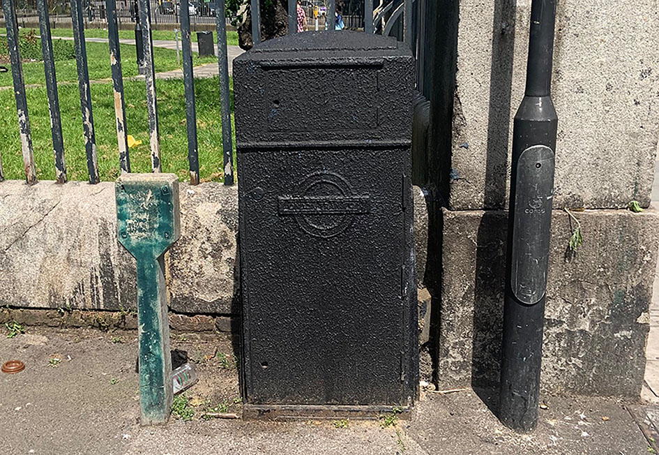
WMR005: St. James’s Park station [exterior], 55 Broadway; SW1;
3rd June 1979 |
| |
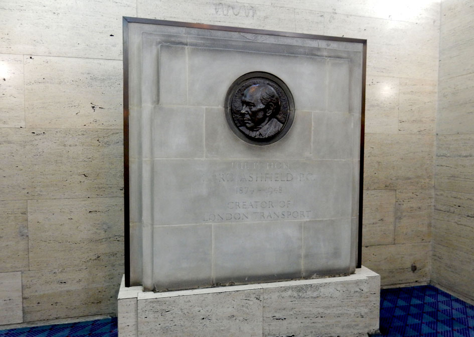 |
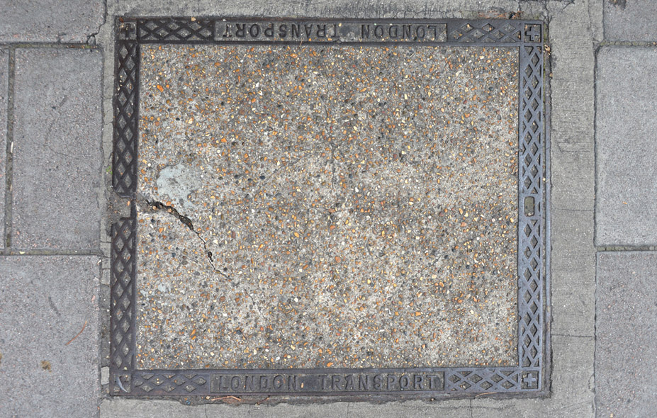
WMR006: St. James’s Park station [moved to foyer], 55 Broadway; SW1;
24th June 2015 [courtesy of Roger Hall] |
| |
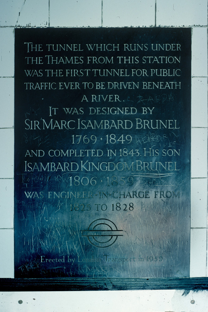 |
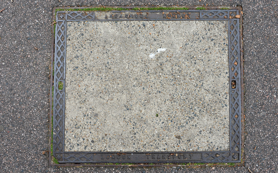
TWH001: Wapping station, Wapping High Street; E1W;
3rd June 1979
|
| |
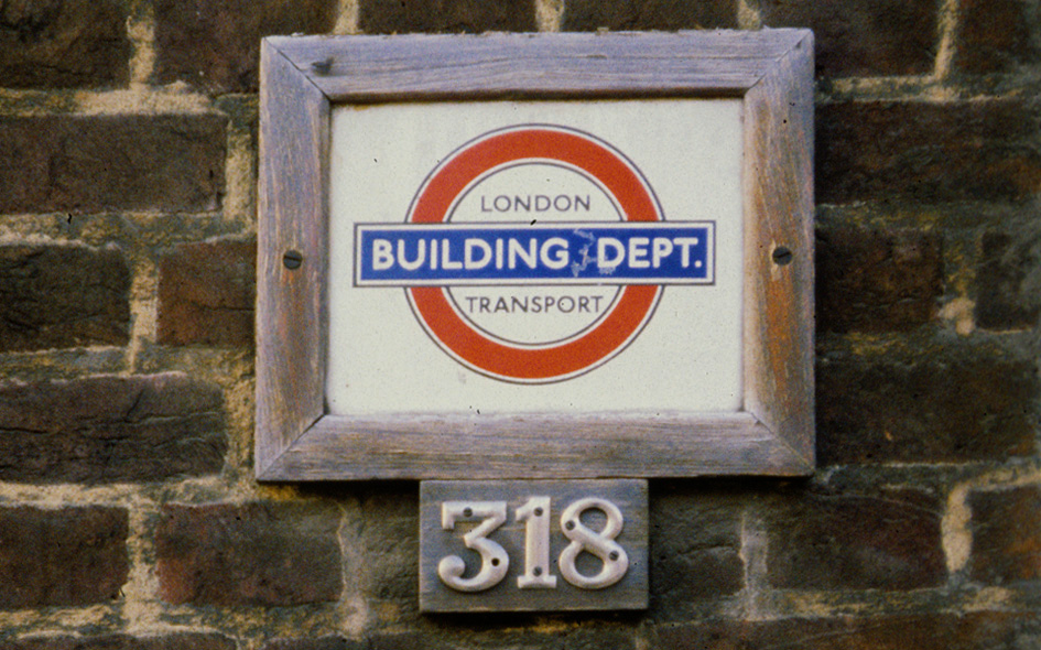 |
LAM003: Oval station, Kennington Park Road, on wall outside no.318; SE11;
30th January 1981 |
| |
 |
NHM017: Hampton Road, north side, at junction with Romford Road; E7;
3rd May 2008 [courtesy of Chris Leadbeater] |
| |
 |
NHM018: Wilmer Lea Close, outside nos.28-38; E15;
3rd May 2008 [courtesy of Chris Leadbeater] |
| |
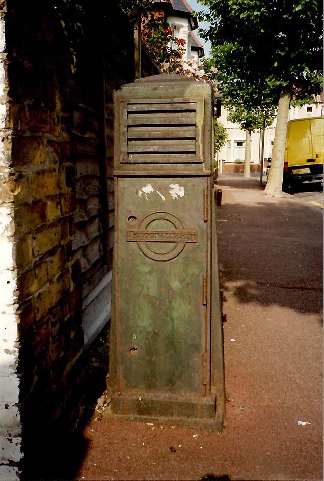 |
NHM020: Rosebery Avenue, north f no.166; E12;
23rd May 1999 [courtesy of John Liffen] |
| |
 |
GRN016: King William Walk, at junction with Nelson Road, behind telephone kiosk; SE10;
28th May 2023 [courtesy of Chris Leadbeater] |
| |
 |
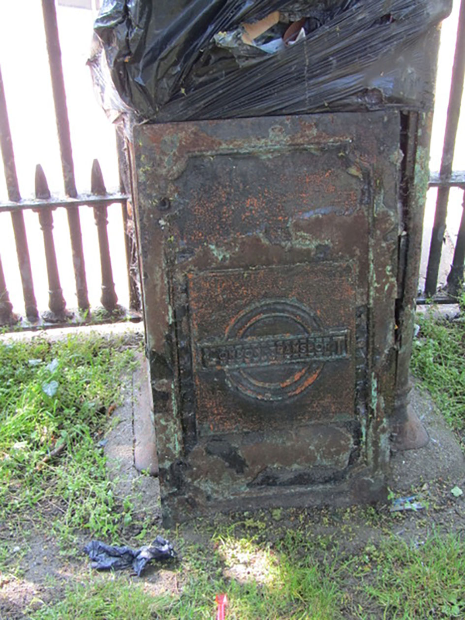
LAM013: Prima Road, north side, at junction with Brixton Road; SW9;
22nd July 2008 [courtesy of Kim Rennie] |
| |
 |
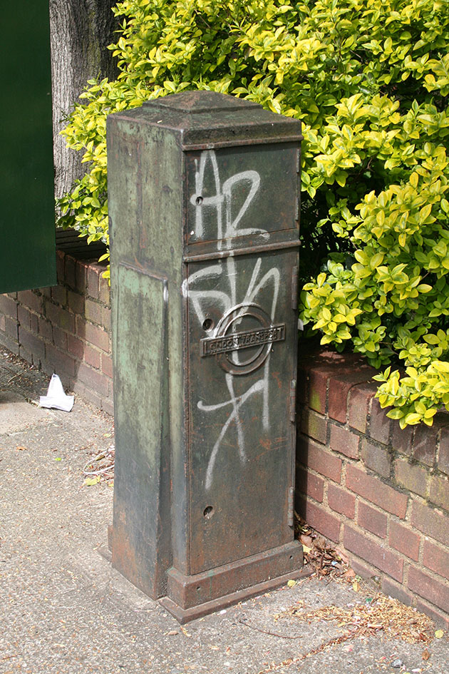
ISL033: Upper Street, outside nos.267/268; N1;
10th June 2021 |
| |
 |
TWH036: Mile End Road, outside no.449; E1;
17th August 2021 |
| |
 |
TWH037: Bow Road, at junction with Harley Grove, north-east corner; E3;
17th August 2021 |
| |
 |
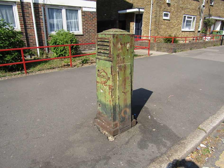
HGY113: High Road, Wood Green, west side, outside bus garage; N22;
21st April 2025 |
| |
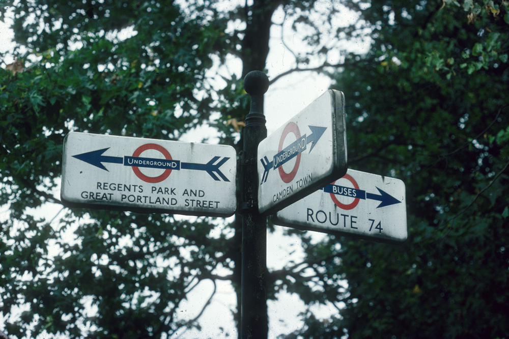 |
CAM017: vicinity of junctions of Parkway, Albany Street and Prince Albert Road; NW1;
date not established [courtesy of Dave Burton] |
| |
| |
| * * * |
| |