 |
Hackney Metropolitan Borough Council (1900–1965) |
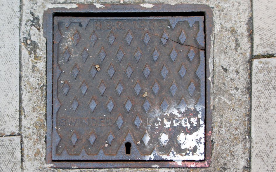 |
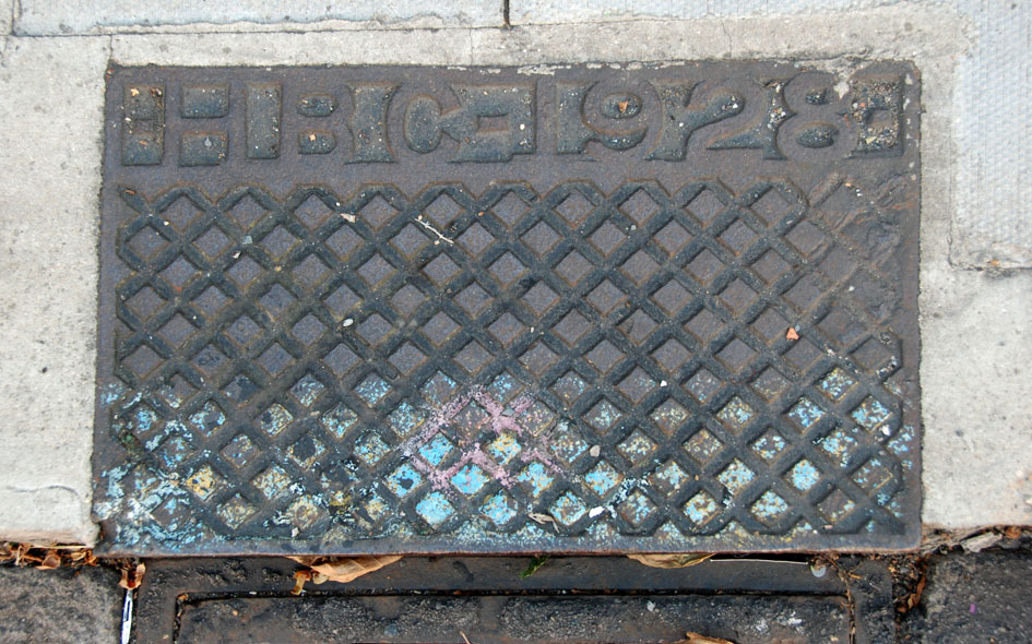
HCK001: Castlewood Road, outside school near council boundary markers; N16;
22nd August 2015 |
| |
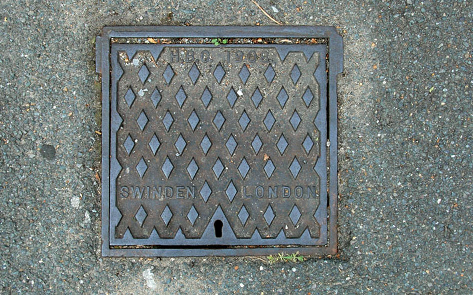 |
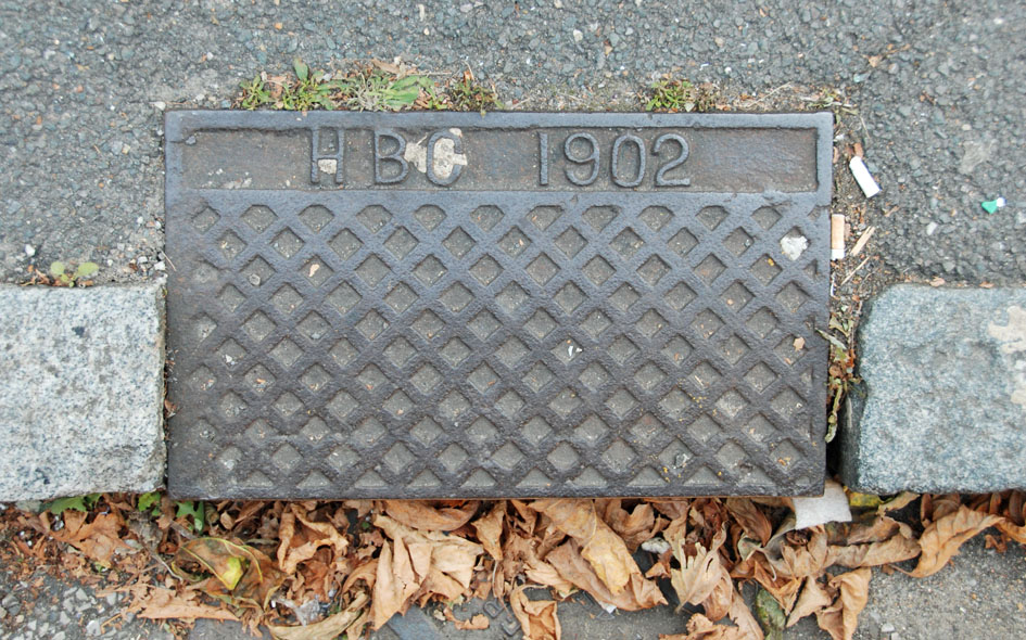
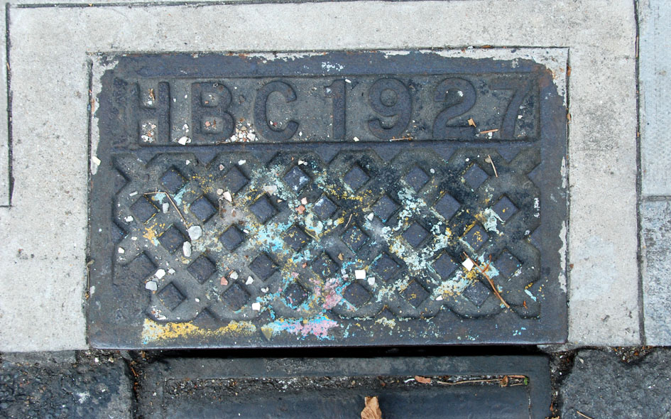
HCK002: Castlewood Road, outside no.99; N16;
22nd August 2015 |
| |
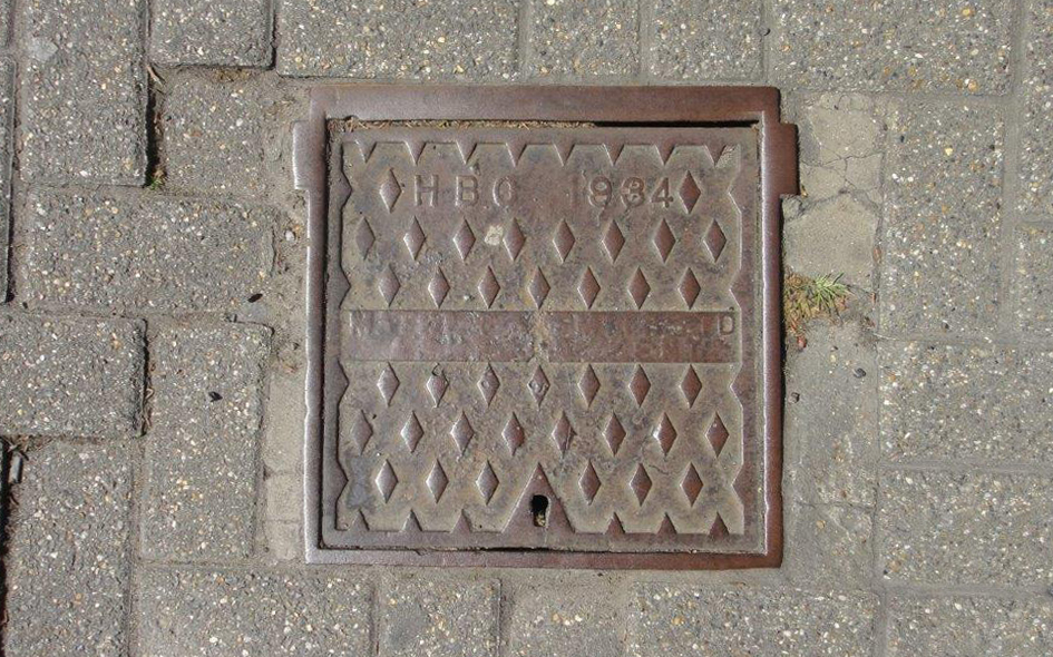 |
HCK020: Urswick Road, outside no.9; E9;
7th April 2021 [courtesy of Steve Smith]
|
| |
| |
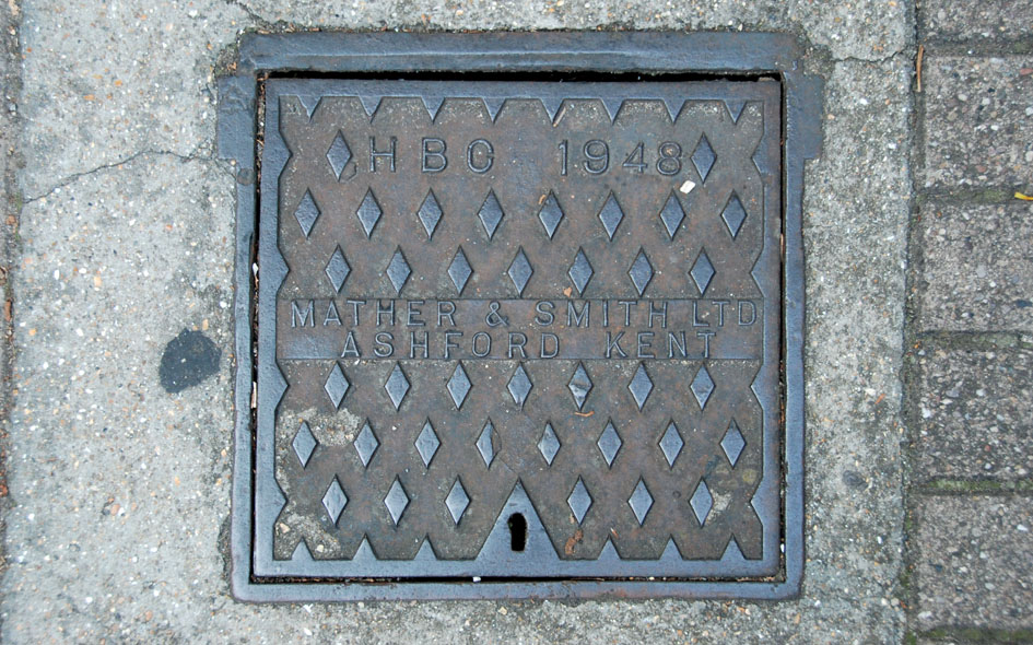 |
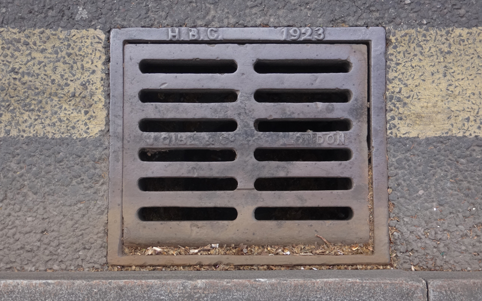
HCK003: Moundfield Road, outside no.93; N16;
22nd August 2015 |
| |
 |
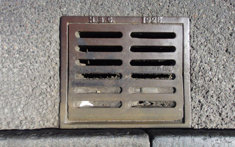
HCK004: Moundfield Road, outside no.104; N16;
22nd August 2015 |
| |
 |
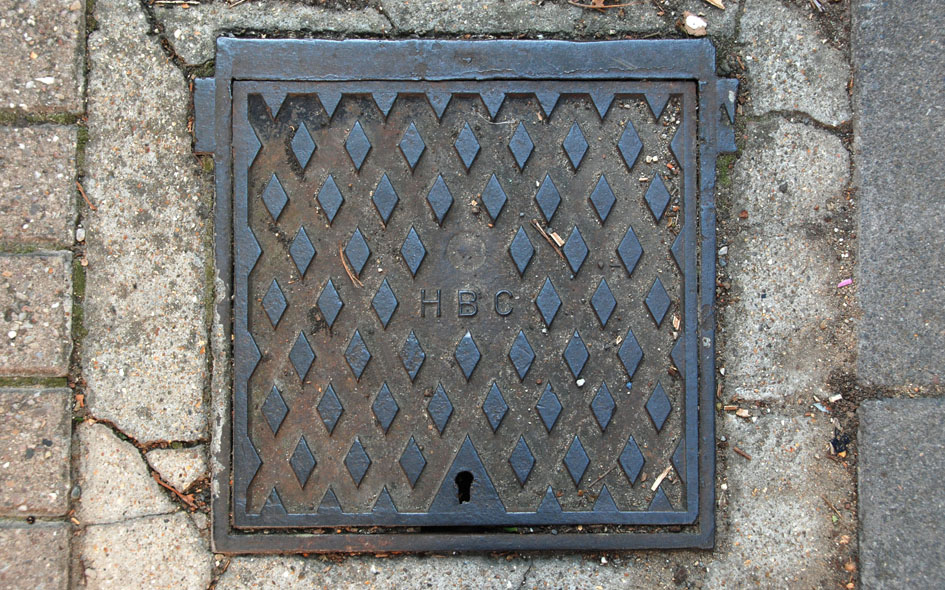
HCK005: Castlewood Road, outside school; N16;
22nd August 2015 |
| |
 |
HCK006: Castlewood Road, outside school near council boundary markers; N16;
22nd August 2015 |
| |
 |
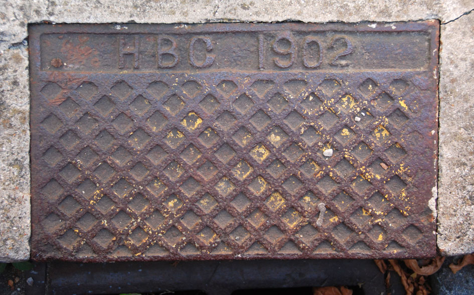
HCK007: Moundfield Road, outside no.60; N16;
22nd August 2015 |
| |
 |
HCK008: Leadale Road, outside no.73; N16;
22nd August 2015 |
| |
 |
HCK009: Leadale Road, outside rear of school, opposite no.73; N16;
22nd August 2015 |
| |
 |
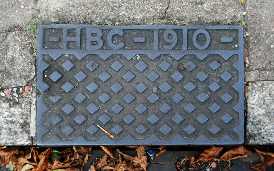
HCK023: Amhurst Park, adjacent tot Goodrich House; N16;
7th April 2021 [courtesy of John Liffen] |
| |
 |
HCK021: Urswick Road, outside no.9; E9;
7th April 2021 [courtesy of Steve Smith] |
| |
| |
| * * * |
| |